Go long or go home – ultralong sprint training

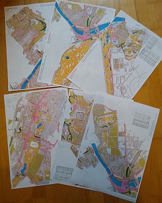
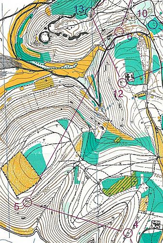
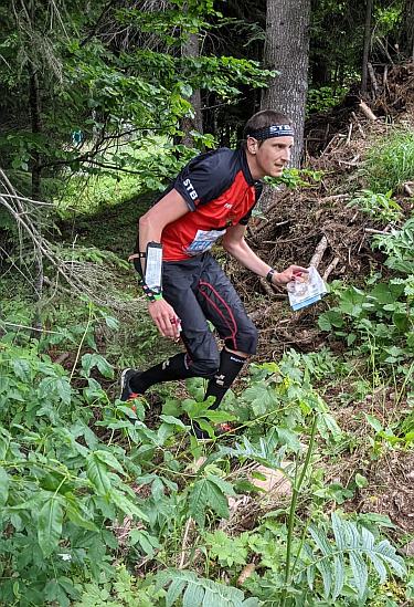
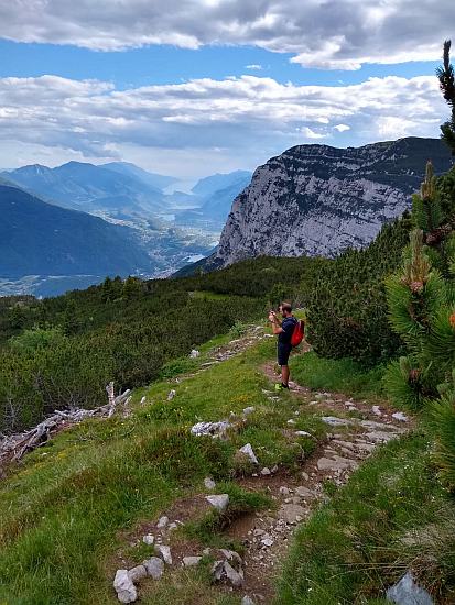
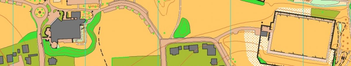
One of my clubmates made a quite big sprint map covering downtown Stuttgart, downtown Bad Cannstatt, the surrounding parks a some more. Earlier this I was a little bored a designed a course that covers the whole map. I ended with a 26.7 k straight line, 62 controls ultralong sprint course. It can be printed on six A3 or 11 A4 sheets. On rainy Sunday in August we made to run the course. We needed 3 h 38 min and run 32.6 k but made to use the whole map and visit some new parts of the city. You can see the map with the course here. Contact us for the map if you came to Stuttgart and like to run the course too.

six A3 sheets of one orienteering map

NAPAPIIRI-JUKOLA 2021

After 1 year and 2 months waiting the Arctic circle Jukola took place in Rovaniemi. Late August instead the usual midsummer date means that we had the darkest Jukola ever, instead of the no night Jukola that was planed. The August date made it a little tricky to complete but with two Swedes we made it up to 7. We travelled a few days earlier to visit the Santa Claus village (always when Santa was already resting), the Lordi-square and to made two of the Jukola trainings.
The Jukola had far less visitors than previous versions. The long travel from major airports and international travel restrictions payed their tribute. Coming from a small o-country is as still a big event with a lot of people around and many big shops. We made a quick visit at Friday to pick up our team bag and do some shopping before the big crowd arrives. Saturday we transferred complete to Jukola. Temperatures were quite low and there was some rain but we managed to watch the complete Venla relay.
As expected from the old map and one of the training maps the forest consist of a lot of marsh. This makes running sometimes very hard but still a lot of. We all had good races but our 3rd leg runner made a mispunch so we didn´t take the chance for a good result.
You can find our results here. Next year Jukola will be in south Finland and hopefully back to normal date.

Hot, hotter, Hungary

After one year without international championships the World Masters Orienteering Championships takes place in the hot Hungarian summer in the area around Velence. For me a first year M40 it was the first WMOC. Original the world master should have been together with the World Masters games in Japan. When the World Masters Games were moved to 2022 Hungary stepped in to host the world masters this year.
Format was the usual sprint qualification, sprint final, forest qualification, middle final, long final. Sprint races were host in Székesfehérvár. Forrest races take place in some semi open areas between Csákvár and Székesfehérvár. I was at the Hungária-Kupa 2000 in Csákvár, so I had a good idea what I have to expect
Sprint qualifying was around a big park with some residential area. Fast running speed was necessary and as expected I didn´t make into the A-final. Sprint final was in downtown Székesfehérvár and more technical than the qualifying. I had a stable race but my ranking wasn´t really an improvement.
As I made a late entry I had the last starting spot in the forest qualification and was running in the midday heat. I made a big 15 min. parallel error at the end of the course. Without the mistake the last qualification spot would have been possible. The final races went OK but again didn´t lead to big improvement.
You can find the results at IOF eventor and my maps in my map archive.
So would there be more WMOC for me? Maybe as you get a high quality IOF controlled event were the master classes are not only a add one. But I´m not so hooked that I´ll go there just because I need to go to WMOC.

Retro map training

Did you ever had the chance to train on a nearly 40 years old map? It’s something that could be really fun. My club organized a training on a map from 1984. The area between Heubach and Bartholomä is great for orienteering and was features in the series “Germanies best orienteering areas”. The map is still great and on many parts you even can recognize the vegetation. We run the superlong course that has 13.4 k straight line and some nice route choices. We end up 18.1 k running and 640 m climb. As usual you can find the map in our map archive. Note that the contour interval is 10 m.

part of the course

Regional Championships middle Baden-Württemberg

The first regional event this year was the regional championships organized by the SV Wannweil. Even though I wasn’t a big part of the organization this year I had to set and pick controls, so there was no chance for me to run in the championships. The map in Ohnastetten on the Schwäbische Alb is in some parts really stony and especially these parts were used in the course setting. Most Competitors were grateful we held the competition, as all the other competitions in the region were canceled so far. The difficult courses and small fields of competitors had the effect of longer victory times.

Steffen was one of the competitors in the H19 class and ended up in second place.

  1. Per Dammeier 1:17:41
  2.  Steffen Hartmann  1:20:26
  3. Manuel Werner 1:56:03

Results can be found here and for the maps check out our map archive.

Italy – Five O Dolomiti Paganella

This years five days of Italy (moved from last year as most things in these times) take place in the beautiful Dolomiti Paganella area. We had good memories from ArgeAlp 2010 taking place in the same area and it was nice to have the chance to compete international again, so we entered. To have most out of the competition we entered the M21 elite course. The elite had a small but good field including former Swiss junior squad members Florian Schneider and Lukas Diener and 1972 WOC relay silver medallist Dieter Wolf.
First competition (a sprint) was scheduled for the evening, so we took the chance to go to one of the model events in the morning. The map Rifugio Meriz had some tricky parts on it that we didn´t manage very well but gave a good feeling of what to expect in the upcoming competitions.
First competition was a sprint in Fai Della Paganella. Two interesting map pars that were connected with one long leg. Course was a little long but I didn´t want miss any part of it. Results of day 1:
https://www.5daysitaly.it/wp-content/uploads/2021/06/split-stage-1.pdf
Day 2 was long distance in Andalo on the forest of ArgeAlp 2010. That year I wasn´t very successful but this year I had the feeling that everything was under control. Results of day 2:
https://www.5daysitaly.it/wp-content/uploads/2021/06/spilt-stage-2.pdf
Day 3 was middle distance and take place in the neighbouring forest to yesterday. Very detailed in the beginning and some route choices in steeper areas in the end. Route choices and orienteering were quite bad today. Results of day 3:
https://www.5daysitaly.it/wp-content/uploads/2021/06/split-st3.pdf
The afternoon we hiked around Lago di Molveno and added another 12 k and 350 climb to our day.
Day 4 was another middle distance an brought us up to the Chalet Forst. Steep area with technical parts. Interesting forest but hard to run. Results of day 4:
https://www.5daysitaly.it/wp-content/uploads/2021/07/splits-stage-4.pdf
In the afternoon we took the lift to La Selleta to hike La Paganella were you have a fantastic view. We found a lot of nice looking tracks so the hike was longer than planed and added another 11 k and 350 m climb to the day.
Final day brought us back to Fai Della Paganella. A longer middle distance race in a very technical terrain we some running in the end to come back to the arena. Orienteering went fine but running was more fight. Results of day 5:
https://www.5daysitaly.it/wp-content/uploads/2021/07/split-st5.pdf
We both ended in top 10:
1. Siro Corsi 4:09:15
2. Albin Alisö +0:15:10
3. Mads Møller Skaug +0:15:49

6. Jakob Schach +0:35:08

10. Steffen Hartmann +02:37:45

You can found total results here. For maps check our map archive. If you plan to orienteer in Italy check orienteering.it for upcoming events of PWT Italy. They are always worth to travel.