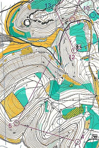
Did you ever had the chance to train on a nearly 40 years old map? It’s something that could be really fun. My club organized a training on a map from 1984. The area between Heubach and Bartholomä is great for orienteering and was features in the series “Germanies best orienteering areas”. The map is still great and on many parts you even can recognize the vegetation. We run the superlong course that has 13.4 k straight line and some nice route choices. We end up 18.1 k running and 640 m climb. As usual you can find the map in our map archive. Note that the contour interval is 10 m.


